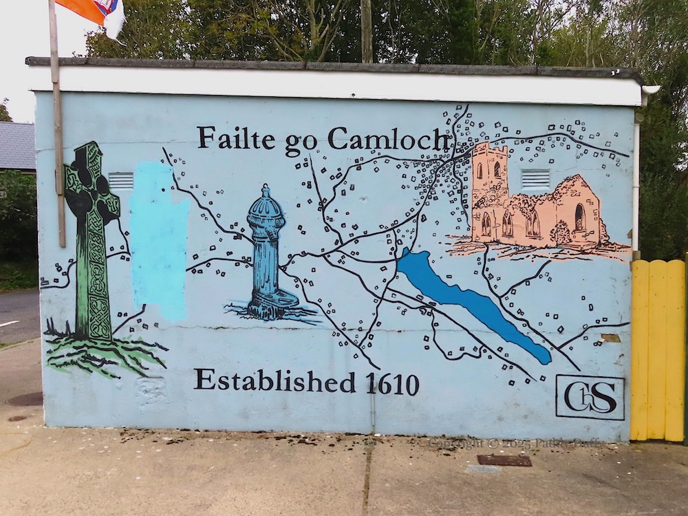
This mural is on the pump-house at the junction of Sturgan Brae and Newtown Rd, west of Camlough town and at the northern end of the “cam loch” [crooked lake]. The lake and the junction are visible in the centre-left, with the village itself just below the “h”. The map is between (to the left) the Celtic cross in the republican plot in St Malachy’s and a turn-of-the-century (1900) village water-pump (NBHS) and (to the right) the ruins of St Jude’s church (Christ Church).
The referent of “established 1610” is not clear. “ChS” in the lower right is perhaps “Camlough Heritage Society” (BBC).
Click image to enlarge
Copyright © 2025 Paddy Duffy
T07817
